

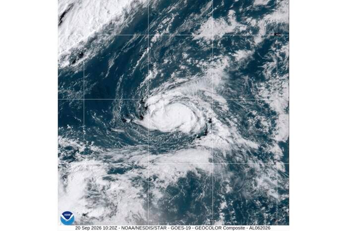
Tropical Storm Polo developed late Sunday off the coast of southwestern Mexico.
The storm featured maximum sustained winds of approximately 40 mph (65 kph), and the U.S. National Hurricane Center in Miami anticipates it will intensify significantly over the coming days.
Forecasters expect Polo to reach major hurricane status by the middle of the week.
Polo is currently tracking east-northeast at about 5 mph (7 kph). The storm is projected to shift toward the east on Tuesday, followed by a sharp turn to the north and northwest on Wednesday.
Heavy rainfall is expected to impact the Mexican states of Michoacán, Colima, and Jalisco through Thursday.
At the time of the report, Polo was located roughly 270 miles (435 kilometers) south of Manzanillo and 270 miles (435 kilometers) southwest of Zihuatanejo, Mexico.
Two other tropical storms also formed on Sunday—one in the northern Atlantic and another in the Pacific—though both remain far from any landmasses.
Tropical Storm Fay, with maximum sustained winds of 70 mph (110 kph), was positioned about 385 miles (620 kilometers) southwest of the Azores. While nearing hurricane intensity, the storm is predicted to weaken.
Tropical Storm Odalys was located far to the southwest of Mexico, approximately 1,350 miles (2,170 kilometers) west-southwest of the southern tip of Baja California.
With maximum sustained winds of 50 mph (85 kph), Odalys is forecast to strengthen into a hurricane within the next 24 to 48 hours.
